Between Vila de São Jorge and the Bar do Mirante, on the access road to Chapada dos Veadeiros National Park, west of the village and north of the GO-239.
Between Vila de São Jorge and the Bar do Mirante, on the access road to Chapada dos Veadeiros National Park, west of the village and north of the GO-239.
The traverse is approximately 23.5 km and can be done as a long one-day hike or with an overnight stay, when that option is open. The campsite has limited capacity and the number of nights depends on the booking type. Spot limits, number of nights and operating period need to be confirmed for the current season.
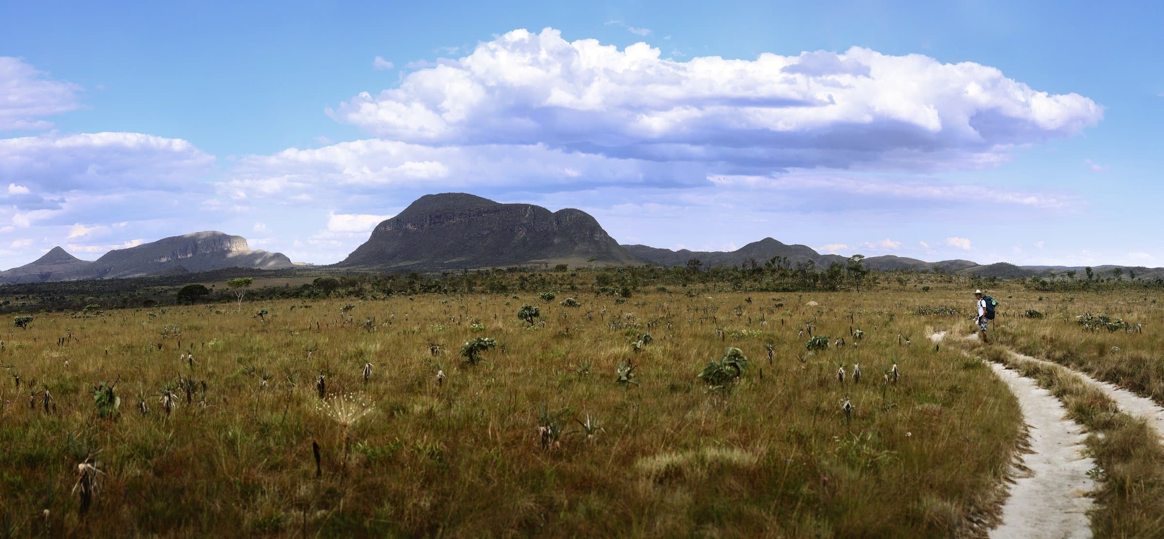
The route crosses a mosaic of environments and paths associated with the Fiandeiras and the old mining sites. A river crossing comes up around the tenth kilometer; the campsite is located at approximately kilometer seventeen, with a restroom about a hundred meters away. These references are for guidance only and do not replace the map provided by park management.
In the rainy season, the traverse is usually suspended because of crossing conditions. Book only after confirming the season. Bring camping gear, food and suitable means of treating water; do not assume the river water is drinkable.
Hiking effort
IntenseA longer, steeper or more technical route, with rocks, water crossings and a possible overnight stay. Requires fitness and planning suited to the activity.
Arriving by car
Depends on the itineraryAn activity, traverse or service with more than one starting, finishing or boarding point; logistics must be arranged for the chosen route.
Historical price range
R$ 51 to R$ 100
Tickets and costs
General admission R$ 49; half-price ticket R$ 24.50 and R$ 5 for eligible residents. Transport, camping and special services are charged separately.
Prices checked on Sep 14, 2026. Confirm when booking.
The historical range helps compare outings; it is not the current rate and does not necessarily include a guide or transportation.
Getting there by car
Entry through the São Jorge gate, with the hike exiting by GO-239. Arrange your pickup and the return to your car before starting the traverse.
The route
Approximately 23.5 km, exiting at GO-239. It can be done in one, two or three days, with up to two nights of camping, subject to authorization and booking.
When to go
Expected season from June to November, subject to the park's authorization and the level of the Rio Preto. November depends especially on the assessment of the rains and the crossings.
Plan your visit
Spot limits, number of nights and operating period for the current season; book only after confirming the season. The kilometer references do not replace the map provided by park management.
Precautions on site
Bring camping gear, food and suitable means of treating water; do not assume the river water is drinkable.
The green markers show where to start the visit. Check each point’s type: a property reference marks the establishment, not the parking spot or the exact trailhead.
Reception
Visitor Center · São Jorge
Entrance to the São Jorge sector. Show your reservation and confirm the open route at the reception. For traverses, also arrange a pickup at the exit point.
Location reference · checked Sep 14, 2026. Follow local signs when you arrive.
The place, the terrain and the trails
Preparing the Chapada map…
Weather at this place
Loading forecast…
Community routes
Visitor recordings on Wikiloc help you get to know the route and its stops. Measurements are approximate and belong to the recorded track; elevation gain adds up the climbs or descents. Difficulty is the author’s own rating and may differ from the guide’s classification. Check current conditions with the attraction’s operator.
To overlay a route on the map above, download its GPX file from Wikiloc and open it in “Overlay a GPX trail”. Wikiloc may require you to log in to download the file.
Partial curation; sorting only covers the routes listed here.
This track measures approximately 23.69 km. The official length of the traverse is 23.5 km; small GPS differences do not change the official information.
Published Aug 8, 2018 · 13 comments as of Sep 14, 2026 · Measurements converted from miles and feet.