

Teresina de Goiás
- from Goiânia
- 491 km
- from Brasília
- 288 km
A small municipality with paths to discover. Teresina de Goiás is a base for visiting Poço Encantado, Chapada Alta and other properties described in the guide, confirming access and scheduling with whoever is in charge of each.
History and paths
Teresina de Goiás is approximately seventy kilometers from Alto Paraíso and nineteen from Cavalcante. It became a district in 1968 and a municipality on January 14, 1988.
Part of its territory and cultural life is tied to the Kalunga communities. Its proximity to Cavalcante makes the town a stopover, but its waterfalls and rural properties also let you plan full days of visits.
Poço Encantado is one of the best-known outings. Chapada Alta, Três Corações, Cachoeira da Força and Fazenda Touro Bravo expand the options for swimming, hiking, camping, meals and rural experiences.
Landmarks
- Poço EncantadoView on map →
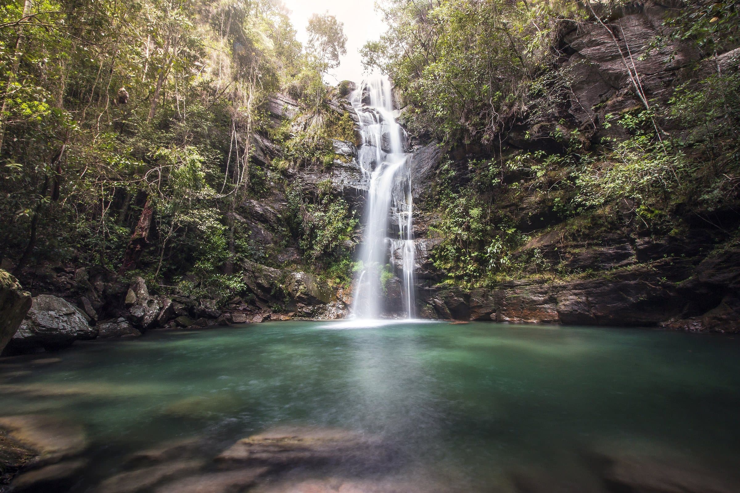
A waterfall with a wide pool in the Teresina de Goiás area, sought out for swimming and contemplation.
- Vale da ChapadaSearch Google Maps ↗
A rural attraction in the Teresina de Goiás area. Confirm with the operator which tours are available.
- Três CoraçõesSearch Google Maps ↗
A group of waterfalls in the Teresina de Goiás area, with access and visits to be arranged with the operator.
Places without a confirmed location open a Google Maps search by name and town.
Waterfalls and attractions
(6)
Waterfall
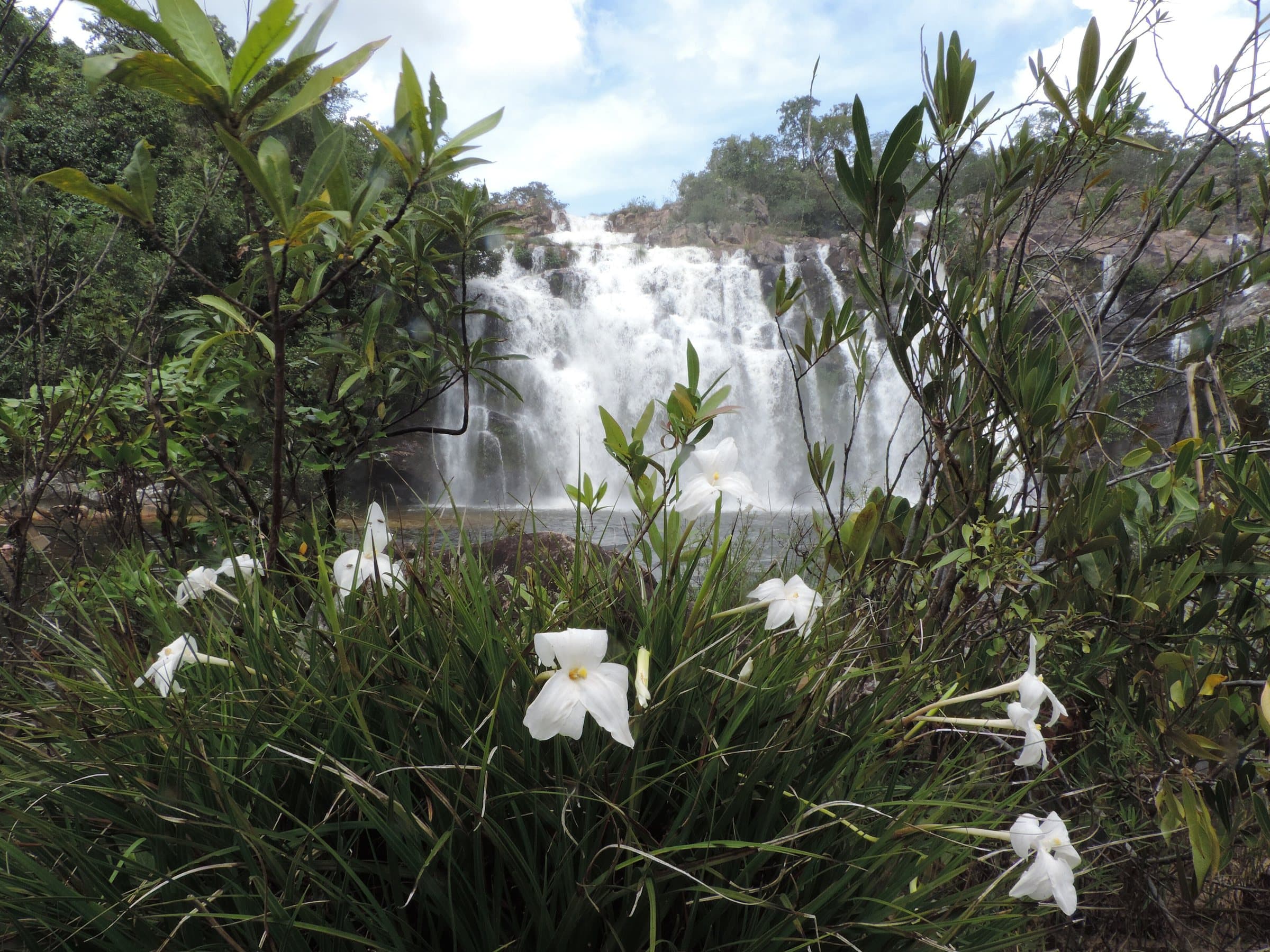
Cachoeira Poço Encantado
Image credit: EmermattosoCC BY-SA 3.0
- Cachoeira Três CoraçõesWaterfall
- Vale da ChapadaComplex
- Chapada AltaComplex
- Fazenda Touro BravoComplex
- Cachoeira da ForçaWaterfall