Between Vila de São Jorge and the Bar do Mirante, on the access road to Chapada dos Veadeiros National Park, west of the village and north of the GO-239.
Between Vila de São Jorge and the Bar do Mirante, on the access road to Chapada dos Veadeiros National Park, west of the village and north of the GO-239.
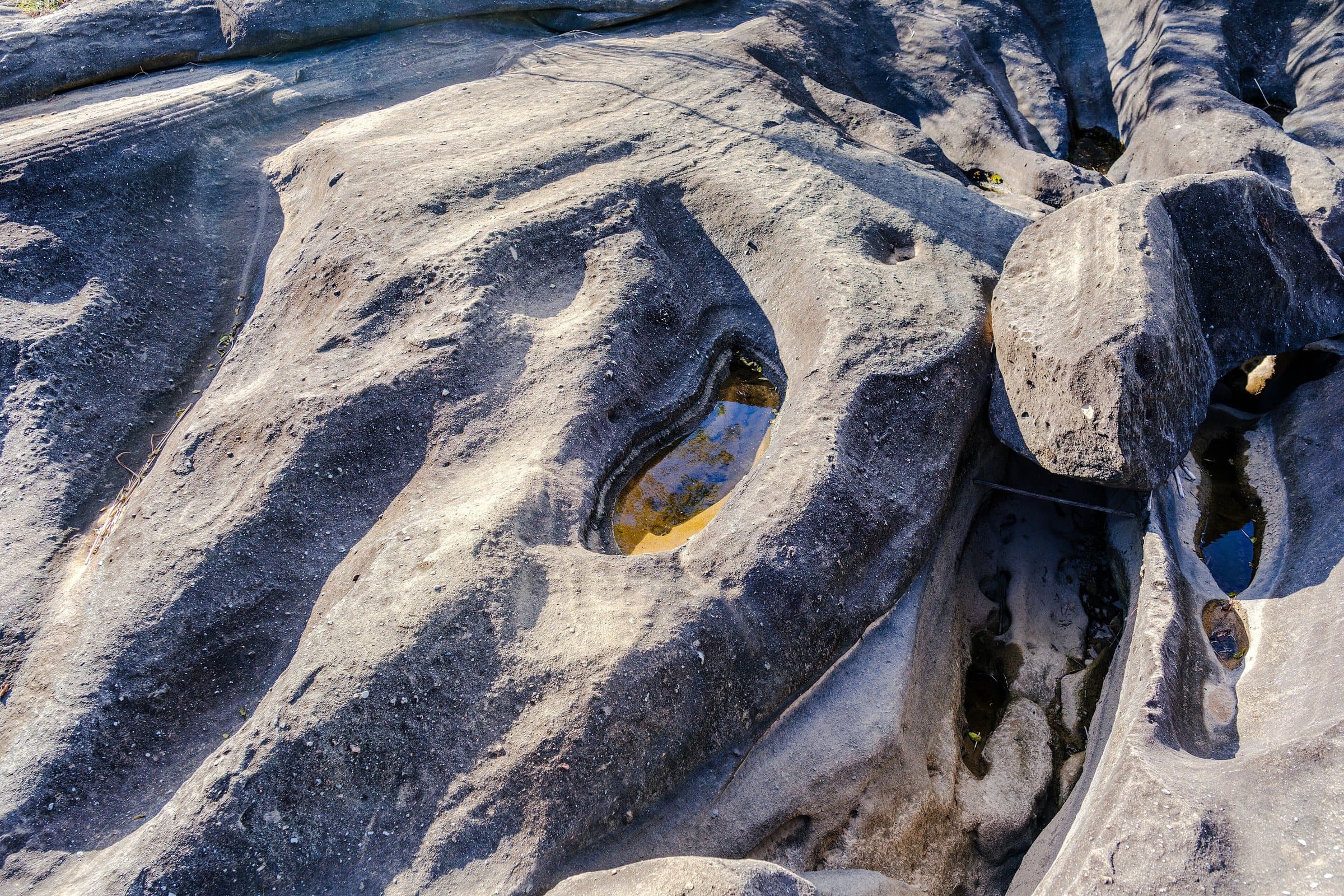
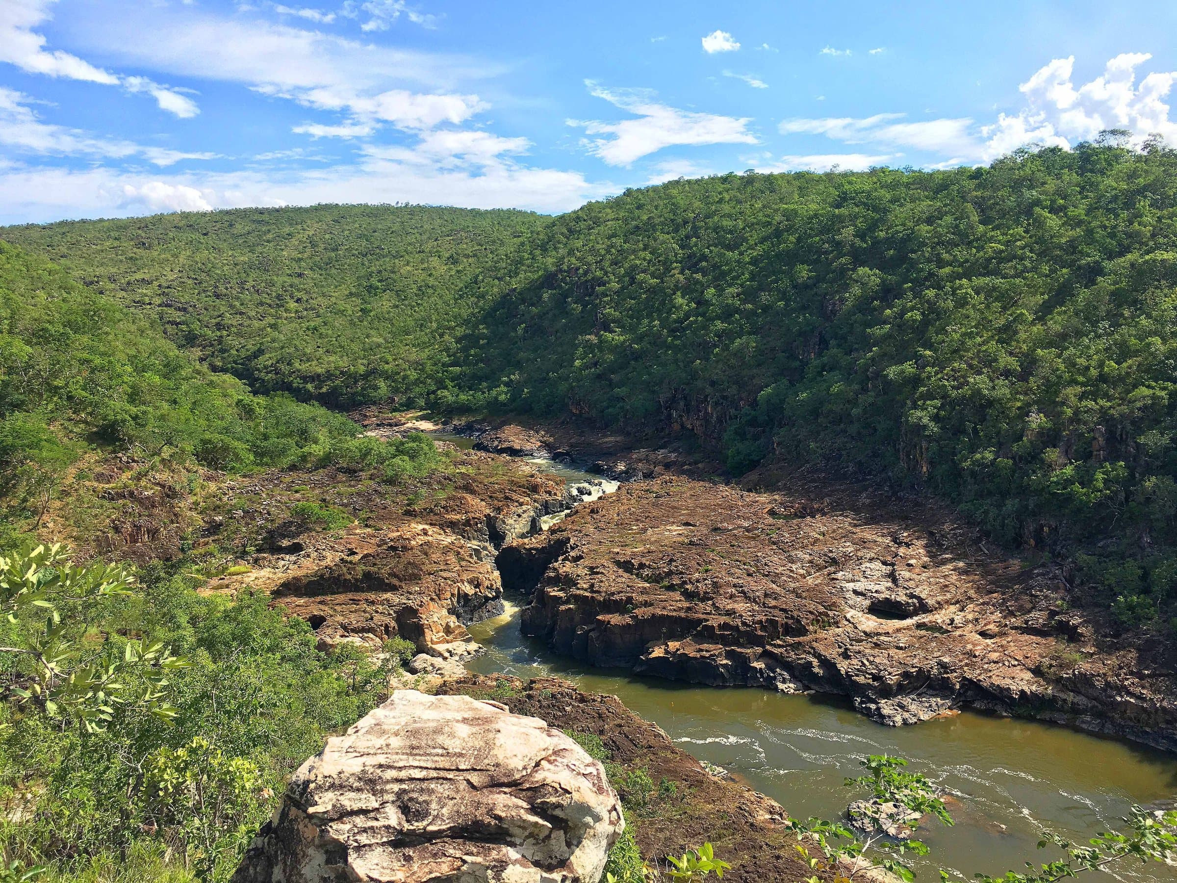
About six kilometers from São Jorge, the Vale da Lua shows how water can turn rock into a landscape of channels, hollows and rounded shapes. The São Miguel River cuts through materials described as carbonate paraconglomerates, sculpted over a span of time far longer than the human presence at the site.
Its unusual appearance explains the name and how often the place appears in news reports and TV programs. The outing involves observing the shapes and, when permitted, using specific swimming spots. Hollows known as Útero and Caverna are particularly dependent on water conditions and on authorization from those in charge.
Flash floods can arrive after distant rain, even under clear skies at the visit site. Closures and instructions from the on-site attendants take priority over travelers’ accounts or photos from other periods. Confirm the entry time and buy your ticket for the day you want.
Hiking effort
LightA short path with few steep climbs or descents. It can suit groups with different paces, after considering each person’s condition and the terrain.
Arriving by car
Take care on the access roadThere is a rural or dirt stretch, uneven ground, a long drive or incomplete information about the vehicle needed. This does not mean 4×4 is required.
Historical price range
R$ 31 to R$ 50
Prices and bookings
Confirm the price and what is included when booking.
The historical range helps compare outings; it is not the current rate and does not necessarily include a guide or transportation.
Getting there by car
The final stretch calls for care with low-clearance cars, which can scrape on uneven spots. Confirm road conditions with the staff at the entrance gate; a short walk does not mean an easy road.
When to go
Confirm which pools and passages are open. Útero and Caverna depend especially on the water level and on authorization from those in charge.
Plan your visit
Which pools and passages are open that day; opening time (8 a.m.) and ticket.
Precautions on site
Flash floods can arrive after distant rain, even under clear skies at the visit site. Closures and instructions from the on-site attendants take priority over travelers’ accounts or photos from other periods.
The green markers show where to start the visit. Check each point’s type: a property reference marks the establishment, not the parking spot or the exact trailhead.
Parking
Vale da Lua parking area
Parking area reference. Stop at the reception before taking the trail to the rock formations.
Location reference · checked Sep 14, 2026. Follow local signs when you arrive.
The place, the terrain and the trails
Preparing the Chapada map…
Weather at this place
Loading forecast…
Community routes
Visitor recordings on Wikiloc help you get to know the route and its stops. Measurements are approximate and belong to the recorded track; elevation gain adds up the climbs or descents. Difficulty is the author’s own rating and may differ from the guide’s classification. Check current conditions with the attraction’s operator.
To overlay a route on the map above, download its GPX file from Wikiloc and open it in “Overlay a GPX trail”. Wikiloc may require you to log in to download the file.
Partial curation; sorting only covers the routes listed here.